belinda betancourt dow
(bellen)
Geospatial Consultant/Contractor
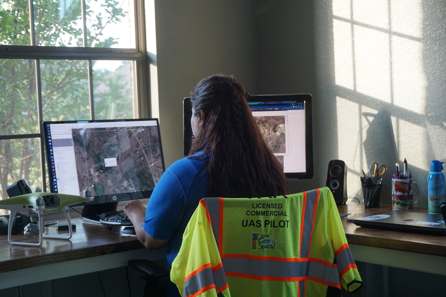
Belinda is a seasoned Geospatial Consultant/Contractor affiliated with Dow Geospatial LLC, specializing in Geographic Information Systems (GIS), data visualization, and sUAS (small Uncrewed Aerial Systems) data processing and analysis. Her expertise spans a wide range of geospatial services, ensuring comprehensive solutions tailored to diverse client needs.
Belinda, a dedicated Geospatial Consultant/Contractor at Dow Geospatial LLC, continually enhances her expertise to provide exceptional client support in the geospatial industry. Holding a BS in Applied Geographic Technology from Slippery Rock University and an Associates in Engineering Technology, she combines her academic background with a passion for integrating software like Pix4D, AutoCAD, and GIS into innovative project solutions.
Her portfolio showcases proficiency in acquiring, processing, and seamlessly integrating geospatial data through sUAS technology, ensuring precise and reliable project outcomes.
past projects
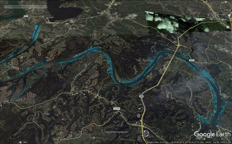
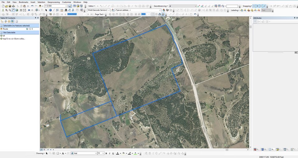
rpic Client: imagery collected by launching drone by boat,created capture workflow using shapefile/google
intern: created map with Facility data for mobile access
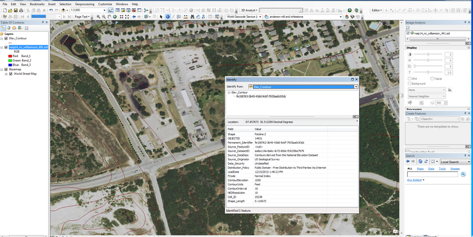
rpic client: created contour data for software testing and troubleshooting
rpic & developer: created a preliminary surface report via drone data acquisition

GIS -google to uas

gis-web mapping

gis-autocad

gis-uas-gis-to autocad
Email Address
belindabdow@gmail.com
Website
My Socials
Interviews
creator and managing director
independent contractor-remote office

During the peak of the pandemic, amidst significant family health challenges, I found that operating from a remote office was not just convenient but crucial. I strategically collaborated with small businesses to jointly bid on projects and offered external GIS and geospatial management services. This innovative approach empowered our partners to expand their service offerings to clients, providing traditionally in-house capabilities typically associated with larger firms. Together we aimed to deliver comprehensive solutions that met diverse client needs efficiently and effectively.

